GREEN VEIN · 城市通道計畫

The Green Vein
Taichung, read at three speeds — metro, bike, on foot

Taiwan's scenic trains turn a railway into a way of reading the island. The Green Vein does the same with Taichung's MRT Green Line — except you do not sit and watch. You change gear between three speeds, and the city's structure appears in the gaps between them.

Why we call it a service, not a tour

Taiwan's themed trains all do the same thing: they take something that was only transport and turn it into a way of understanding a place. The Green Vein brings that into the city. The Green Line runs 16.71 km across 18 stations, from the depot in Beitun down to the high-speed rail gateway — which happens to be a clean cross-section of Taichung: north and south, new and old, the everyday and the legendary.

16.71 km18 stationsG0 — G17北屯 → 烏日

Three speeds, three kinds of seeing

A city does not reveal itself at a single speed. At 60 km/h you see the skeleton; at 15 km/h you feel the scale; at 4 km/h you finally see people. The Green Vein is built so one group passes through all three in a single trip.

  1. 01 MacroMetro≈ 60 km/h

    The window is a moving viewfinder; the platform is a curatorial node. The elevated sections lay the whole city flat in front of you — Central Park was Taichung's 1940 airfield, the railway and the metro run side by side at Daqing, and the leftover space under the viaduct is still waiting for an answer. This leg is about the skeleton, and the logic by which it was planned.

  2. 02 MesoPublic bike≈ 15 km/h

    The scale of the Seventh Redevelopment Zone can only be measured from a saddle — walking is too slow, driving too fast, and neither lets you feel how far the blocks have been stretched. Qiuhong Valley, the Huilai archaeological site, the standing stones at Shalu Green, Tsutaya Books, and on to Shui'an Temple: how a new civic centre gets planned is an answer you find in the rhythm of the wheels.

  3. 03 MicroOn foot≈ 4 km/h

    The last leg is always on foot, because this is the only speed at which you see people. The alkaline tang of Taichung's noodle soup, the burnt-sugar smell at Lailai, that tall terminalia in Jiushe Park nobody can date, the earth-god shrine standing on the most expensive land in the city. The route deliberately runs through old local shops — every dollar stays in the neighbourhood, which is the only definition of place-making we recognise.

Three ways to ride it

The two routes hand over at City Hall Station and together cover the line end to end. Take one leg, or ride the whole vein in a single day.

Plan A90 min macro + 60 min micro

Green Axis Heartbeat

North leg | Beitun Main G0 → City Hall G9

The everyday life of a two-rail junction, and the legends of a boulevard after dark. The metro strings the skeleton together; then you drop into the streets.

  • Beitun Main G0 — one of only two ground-level stations, where the artwork Floating Island recreates the mist over the Dakeng hills
  • Songzhu G4 — the tightest curve on the line is right under you; Jiushe Park went from graveyard to forest; Nanxing Temple is one of Taichung's four great Mazu temples
  • Eye of the Metro — an in-carriage segment with no stop: the centipede curse, the construction accidents, and the 1940 airfield out the window
  • Wenxin Sakura G8a — the Sakura ballpark is not on campus; the Xiyuan boys have to jog there to warm up
  • Walking finale — 1.1 km past Lailai Soy Milk, Moqi Coffee, the white house of Jinqianbao, and the former lives of Taiwan Boulevard
2 hoursFrom NT$6,000 (10 people), then NT$450 each
Plan B60 min meso + 35 min macro + 40 min micro

Folded Time

South leg | City Hall G9 → Wurih G16

The Guangxu era, Toyo Ito and the Taichung metro, folded into one piece of ground. The only plan with a cycling leg — the scale of the Seventh Zone has to be measured on wheels.

  • City Hall G9 — 60 min by bike: Qiuhong Valley, finding “the oldest person in Taichung” at the Huilai site, and the earth-god shrine on the priciest land in the city
  • Shui'an Temple G10 — a crack in time: people and gods were here long before the towers and the rezoning. Also: how station names carry local memory
  • Fill in the window — Shui'an to Daqing without stepping off: Wenxin Forest Park, Nantun, Fengle Park, Jiuzhangli, Jiude. Guess which station is which
  • Daqing G13 — a near 90-degree turn made for one meeting: here the railway and the metro run side by side
  • Wurih G16 — a 10-minute walk to the Wurih brewery and a 30-minute tour inside. A market and a brewery: local life, fermenting
2 hoursFrom NT$6,000 (10 people), then NT$450 each
Plan CAll three speeds, about 5 hours

The Whole Vein

End to end | Beitun Main G0 → Wurih G16 (both legs)

The whole line in one day. North joins south, new joins old, and the cross-section of the city is finally complete. Fully bespoke: timing, group splits, meals, guide language and your own corporate theme are all rearranged around you. Price on enquiry.

  • The two routes hand over at City Hall Station, with lunch or a local meal in between before the second leg
  • No cap on headcount. Around 20–25 per group; larger parties split into several groups, and the two legs can be swapped or run in reverse
  • Bolt on a corporate theme: material for an ESG report, an urban-planning or transport-policy study visit, a department offsite, an association's annual field trip
  • Pair it with the printed walking booklet, the stop cards and the souvenirs we designed ourselves — rebadged as your own edition
One day (about 5 hours)Bespoke — price on enquiry
Enquire about a group booking →

Three reasons companies and associations book this

This is not an outing that ends when you get home. What it produces can go into a sustainability report — and it leaves something behind in the neighbourhood.

  • SDG 11 · 13

    A low-carbon trip

    Public transport, public bikes and walking throughout — we do not put a coach on the road. Same group, same afternoon: the mode of travel is itself the biggest emissions saving in the programme, and it is a number you can compute and report.

  • SDG 8 · 12

    Place-making that pays

    The route runs on purpose through long-standing local businesses — noodle soup stalls, a goose restaurant, star-fruit juice, soy milk, jute-leaf soup in Nantun, Wurih beer. Every dollar stays in the neighbourhood rather than passing through for a photo. In a report, that is quantifiable local procurement.

  • SDG 4 · 11

    Learning by asking

    Archaeological sites, temples, railways and zoning plans are the teaching material, and we ask rather than recite. What else could the space under the viaduct become? Why do Chongqing Road and Gansu Road follow no geography at all? Is a city grown, or imagined into being by one generation after another? What your people take home is not a souvenir but a question.

How group bookings work

Plan A · HeartbeatPlan B · Folded TimePlan C · Whole Vein
SectionBeitun Main → City HallCity Hall → WurihEnd to end (both legs)
Duration2 hours2 hoursOne day (~5 hours)
Speeds usedMetro + on footBike + metro + on footAll three
Group size10 and up, no cap10 and up, no capSplit into groups as needed
PriceFrom NT$6,000 (10 pax), then NT$450 eachFrom NT$6,000 (10 pax), then NT$450 eachBespoke — on enquiry

All three include the guided route and a local food tasting, in Chinese or English. MRT fares, public bike rental and ground transport are not included. Book at least 3 days ahead — two weeks for Plan C.

Where this route came from

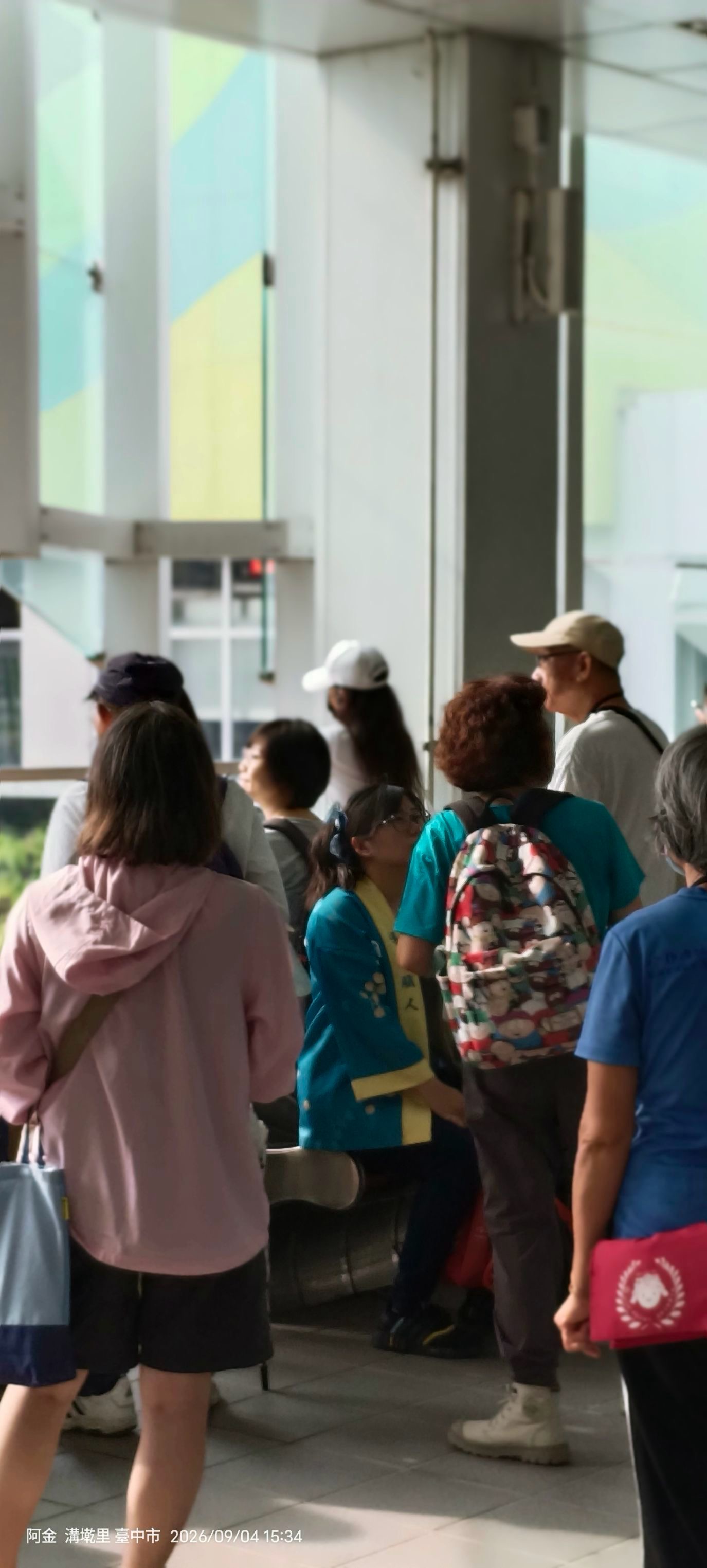
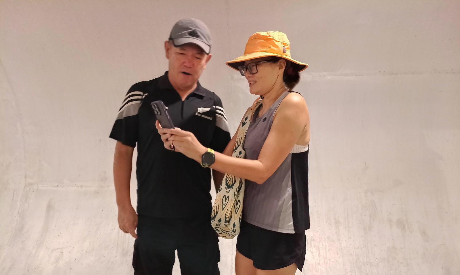
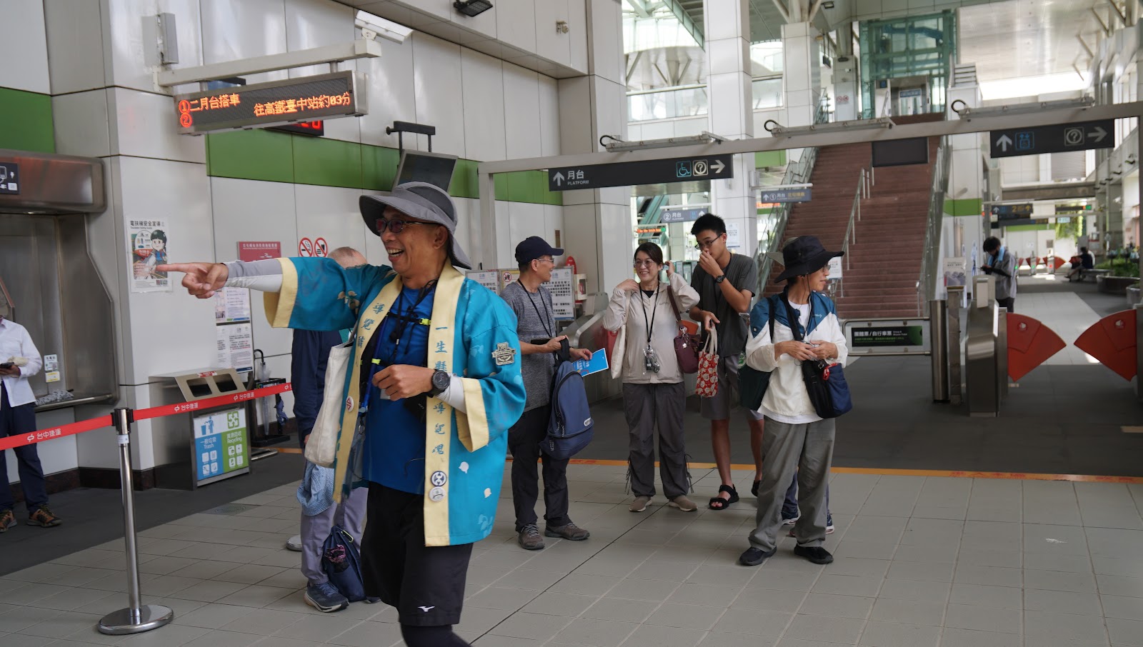
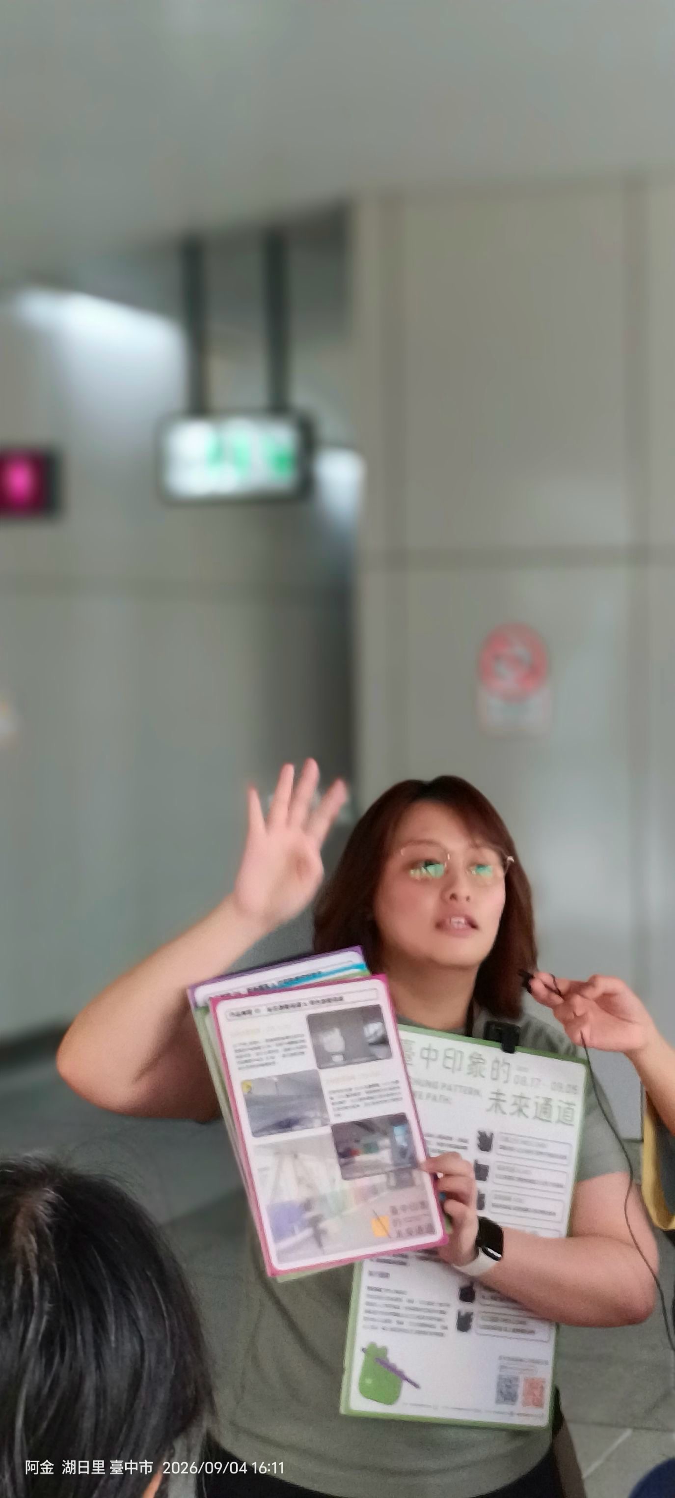
The Green Vein is not a route we invented. It comes out of the 2026 Taichung MRT Green Line Public Art Programme, “City Corridor” — commissioned by the Taichung City Government MRT Engineering Bureau, administered by Taichung Mass Rapid Transit Corporation, with us as the appointed guiding team. On 4 and 5 September 2026 we walked the whole line over two days and produced the walking booklet, the stop cards and the meeting-point foldout. The photographs below are from those two days. Afterwards we turned it into something groups can book.

臺中市政府捷運工程局 × 臺中捷運股份有限公司 × TC TIME WALK 台中時空漫步 · 2026.09.04–09.05

What those two days looked like

See the full recap and photo album →